|
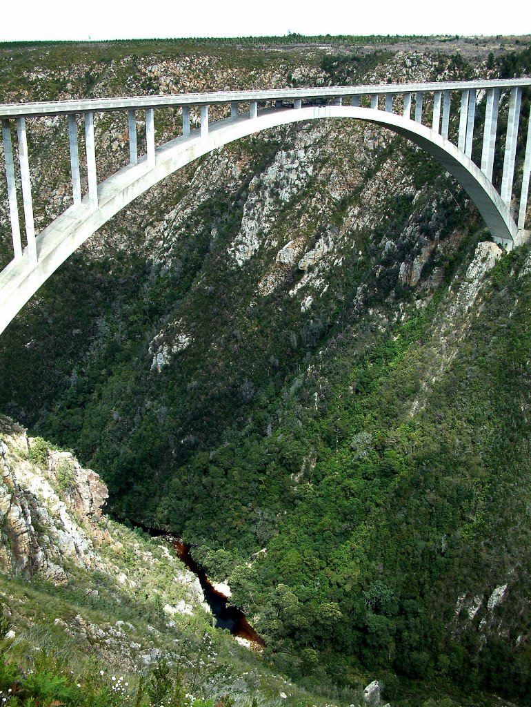 |
| Blouwkrans River Bridge | |
| Latitude: S 33°57'55,71" | Longitude: E 23°38'51,69" | Altitude: 213 metres | Location: Covie | State/Province: Western Cape | Country: Zuid-Afrika | Copyright: Ron Harkink | See map | |
| Total images: 8 | Help | |
|
|
|
| Blouwkrans River Bridge | |
| Latitude: S 33°57'55,71" | Longitude: E 23°38'51,69" | Altitude: 213 metres | Location: Covie | State/Province: Western Cape | Country: Zuid-Afrika | Copyright: Ron Harkink | See map | |
| Total images: 8 | Help | |